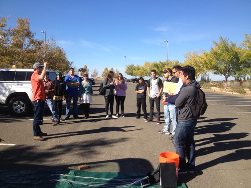
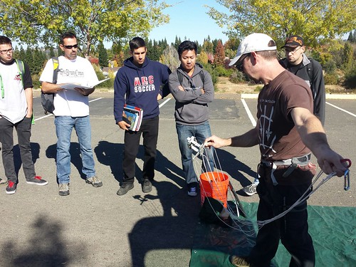
November 3, 2014. Clear and cool with a light breeze – a perfect morning for field work. Students from Professor Pittman’s GEOG 331 – Exploring Maps and Geographic Technologies course gathered in the parking lot at the north end of campus for some balloon aerial photography. Jason explained some of the basics and gave a safety orientation. Rule #1: Anyone handling the line must glove up!
As we filled the balloon, we realized that we had miscalculated the helium required. The tank wasn’t quite full, and the balloon wouldn’t pull the picavet with the Canon SX130. Forced to improvise, we clipped a much lighter iPhone rig (running the TimeLapse app) directly to the string attachment point, and we were ready to fly.
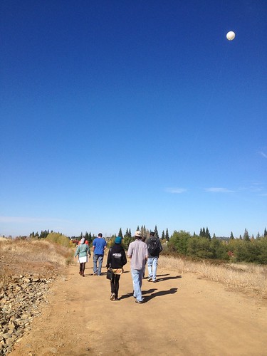
With the lighter camera setup, the balloon flew fine, and students walked the trails that run through the wetlands.
We uploaded the photos to Google Drive, and over the next week, students will use Map Knitter to stitch the photos together and georeference them.


Pingback: Update Preliminary MapKnitter Output | DoLookDown.org
Pingback: Before and After | DoLookDown.org