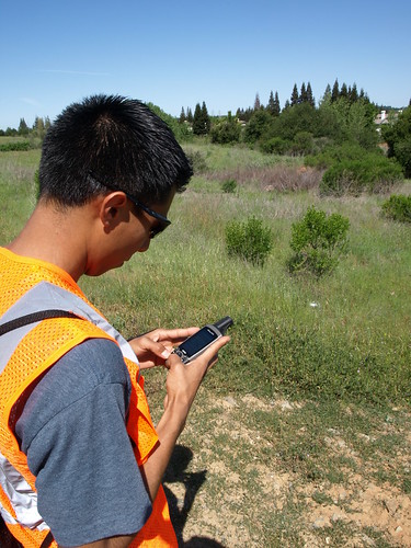
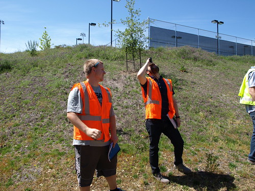
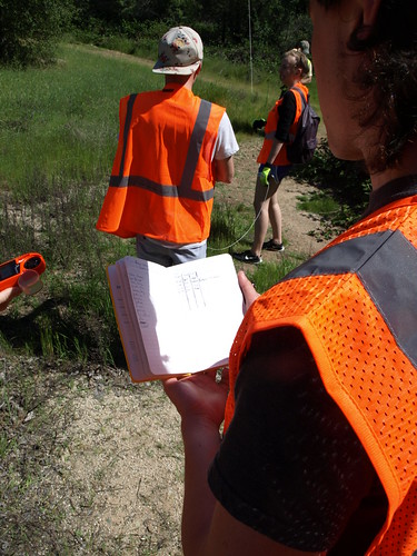
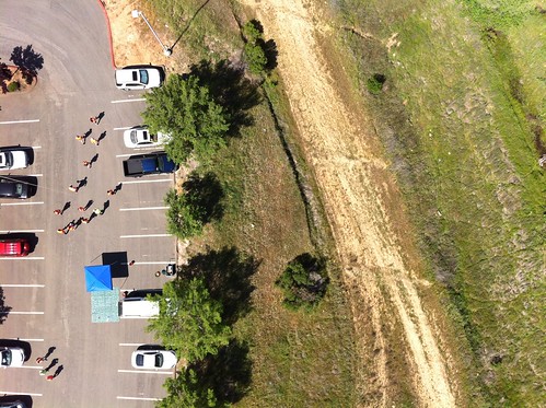
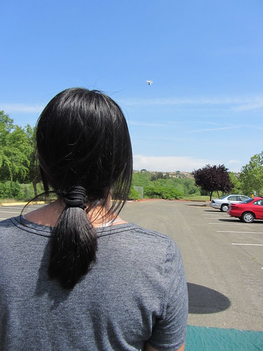
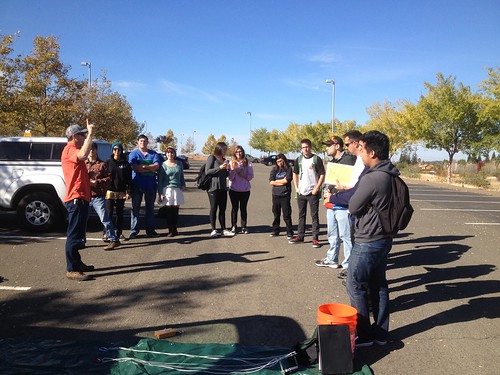
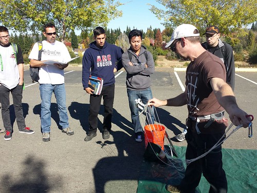
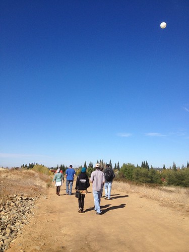
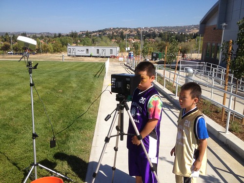
Whenever we do a flight day, we try and have at least one student taking photos and documenting the process. Here are some Folsom Lake College students at our most recent BAP field day doing science – taking GPS coordinates, shooting the balloon with the laser rangefinder, and logging data.
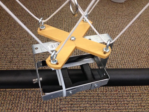
Field day with Jason Pittman’s (Geosciences) class yesterday. The balloon pulled well, I think thanks in part to the weight reductions we achieved with the new 3D printed picavet part.
Full dataset here: https://drive.google.com/folderview?id=0B1HizVK87qvsS3kxX3A4OGM4WFU&usp=sharing
Did a quick SketchUp model of a picavet and printed it for a BAP day on Wednesday. Much lighter than the setup it replaced.
When I have a little more time, I’ll look into replacing all the metal parts with printed plastic ones.
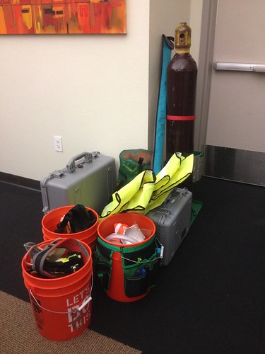
Kite? Check. Helium? Check. It takes quite a bit of gear to execute a proper field day. Professor Jason Pittman arranged a KAP/BAP field day, and we headed up to the wetlands on the north end of campus to meet students around noon. Following a brief safety talk and protocol orientation, one team set out to launch the balloon, while the other team assembled and attempted to launch the kite.
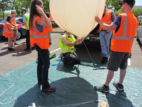
Half-full, balloon #1 revealed some pinhole leaks, so we tried to move the gas to a second balloon, which didn’t work at all, and we popped the first one in the process. Fortunately, we were able to get one of the spares filled and in the air.
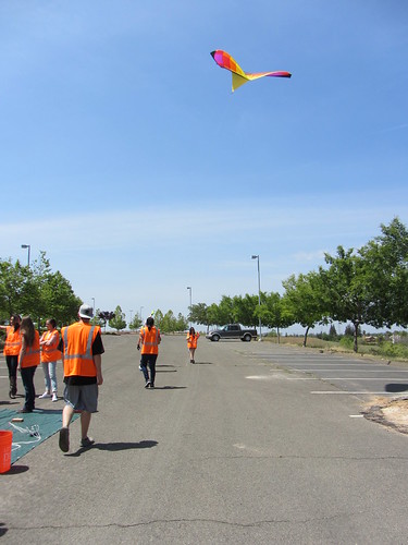
The kite team struggled with inconsistent wind. After many heroic attempts, they eventually scrapped the launch and joined the balloon team to walk the wetlands.
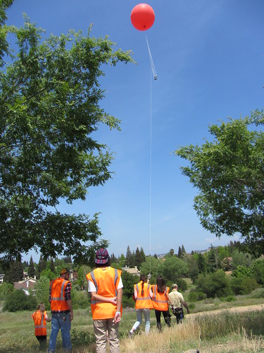
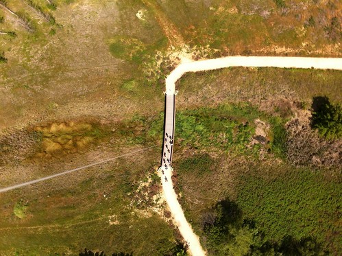
We flew for ~40 minutes, with the camera (iPhone on the picavet, running Timelapse at 10 second intervals), and captured some really good shots. (Link: The full set images from 04.24.15 BAP field day.)
At 2 o’clock, we headed back to the cars to stow the gear and head out. A few students hung around and had a chance to fly our newest quad.
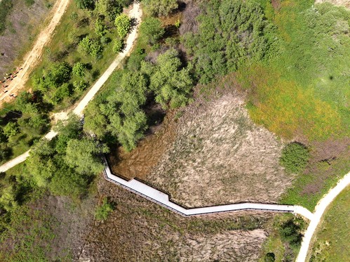
Thanks to the very responsive team at Publiclab.org – Stewart, Jeff and Liz! – MapKnitter is back up and running exports. Here’s a before and after version of one student’s work with the balloon photos:

Overall, a fine result, but a few anomalies might bear some experimentation. For instance, the dropouts toward the top of the north/south path on the left-hand side, and a small faded out area near the bottom left, just above where the east/west and north/south paths join. If I had to guess, I’d say these were the result of too many overlapping images in those particular sections. I think I’ll see about thinning out some of the overlaps to see if I can’t get a cleaner export.
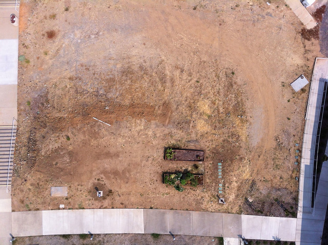
Here’s a screenshot of one of the many photo composites that students are working on with the data gathered from the balloon flight a couple of weeks ago:
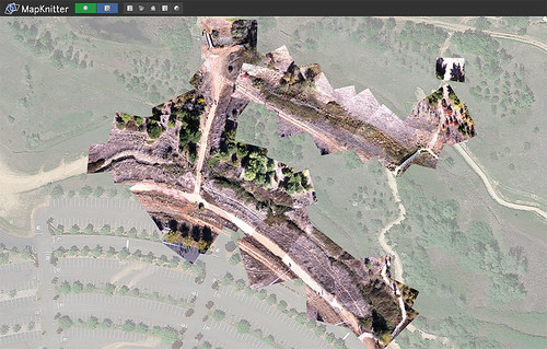
MapKnitter is being finicky about exports, but hopefully that will resolve itself before long, and students will be able to get their hands on the stitched photos for further analysis.
November 3, 2014. Clear and cool with a light breeze – a perfect morning for field work. Students from Professor Pittman’s GEOG 331 – Exploring Maps and Geographic Technologies course gathered in the parking lot at the north end of campus for some balloon aerial photography. Jason explained some of the basics and gave a safety orientation. Rule #1: Anyone handling the line must glove up!
As we filled the balloon, we realized that we had miscalculated the helium required. The tank wasn’t quite full, and the balloon wouldn’t pull the picavet with the Canon SX130. Forced to improvise, we clipped a much lighter iPhone rig (running the TimeLapse app) directly to the string attachment point, and we were ready to fly.
With the lighter camera setup, the balloon flew fine, and students walked the trails that run through the wetlands.
We uploaded the photos to Google Drive, and over the next week, students will use Map Knitter to stitch the photos together and georeference them.
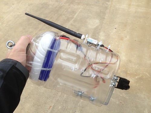
For Folsom Lake College’s 10th anniversary celebration, we rigged up the balloon to stream video to a monitor on the ground, using a custom rig with a POV camera, battery, and transmitter, all housed in an apple juice bottle rig.
Never having tried the setup before, we launched the balloon, and streamed the video to a little field monitor. Everything worked perfectly, and on the first try besides! Children seemed to appreciate the balloon’s eye view of the college.
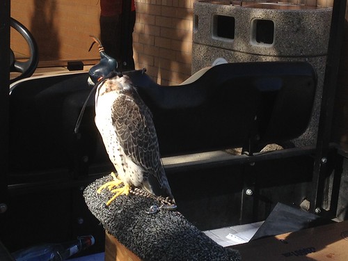
We had to pull the balloon down and hide it from the falcons that were flown once or twice throughout the day. Apparently balloons are used in training the birds, and we were concerned that they would go after it.
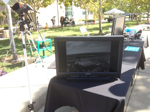
After the falcons had finished their flights, we launched the balloon again, now streaming to a much bigger monitor stationed at our table. Once again, things worked exactly as planned. The video was surprisingly clear and the stream stable, save a few transmission hiccups from time to time.
Next steps include building a dual rig, with a camera for still images, and the streaming gear to aid in positioning the balloon. We also need to explore fins or other means of stabilizing the streaming rig, as it got to swinging pretty severely at times. It was attached directly to the string attachment point, so it’s entirely possible that hanging it from a picavet will take care of the swing.

